
————
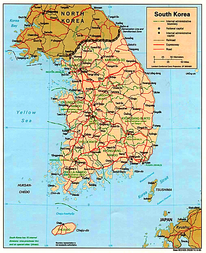
SOUTH KOREA
 Korea encompasses a total of 223,098 square kilometers — almost the same size as the United Kingdom or Ghana. Some 45 percent of this area, or 99,678 square kilometers, is considered cultivable area, excluding reclaimed land areas. Mountainous terrain accounts for some two-thirds of the territory like Portugal, Hungary or Ireland.
The Taebaeksan Mountain Range runs the full length of the east coast, where the lashing waves of the East Sea have carved out sheer cliffs and rocky islets. The western and southern slopes are rather gentle, forming plains and many offshore islands honeycombed with inlets.
The peninsula features so many scenic mountains and rivers that Koreans have often likened their country to a beautifully embroidered brocade. The highest peak is on Mt. Baekdusan in North Korea along the northern border facing China. It rises 2,744 meters above sea level and is an extinct volcano with a large crater lake named Cheonji. The mountain is regarded as an especially important symbol of the Korean spirit and is mentioned in Korea’s national anthem.
 Considering its territorial size, Korea has a relatively large number of rivers and streams. These waterways played crucial roles in shaping the lifestyle of Koreans and in the nation’s industrialization. The two longest rivers in North Korea are the Amnokgang River (Yalu, 790 kilometers) and the Dumangang River (Tumen, 521 kilometers). These rivers originate from Mt. Baekdusan and flow to the west and the east, respectively. They form the peninsula’s northern border.
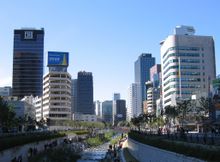
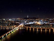
In the southern part of the peninsula, the Nakdonggang River (521.5 kilometers) and the Hangang River (481.7 kilometers) are the two major waterways. The Hangang River flows through Seoul, the capital of Korea, and serves as a lifeline for the heavily concentrated population in the central region of modern Korea, just as it did for the people of the ancient kingdoms that developed along its banks.
Surrounding the peninsula on three sides, the ocean has played an integral role in the lives of the Koreans since ancient times, contributing to the early development of shipbuilding and navigational skills.
SOUTH KOREA – MAP


